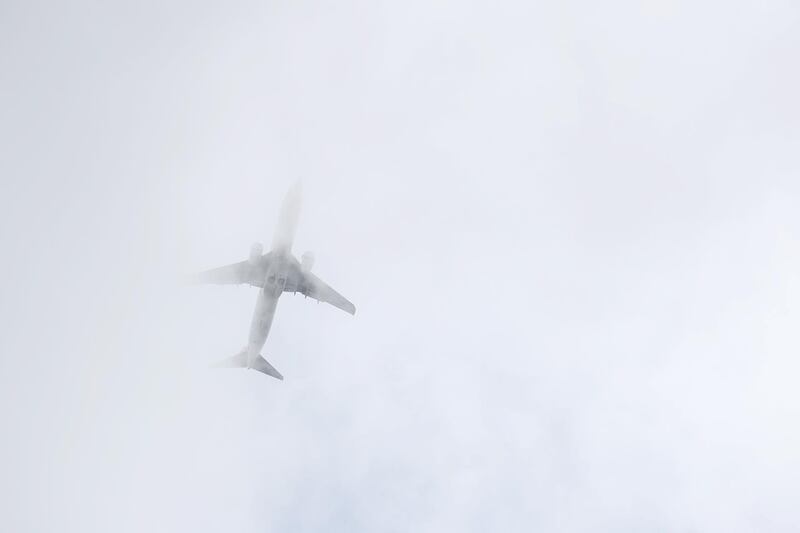
The first concrete evidence of a possible link between two deadly Boeing 737 Max crashes came from space.
A new satellite network capable of tracking planes in high fidelity across the globe captured the flight path of the Boeing 737 Max that crashed Sunday. The data was critical in persuading the US to join the rest of the world in grounding the jet, according to industry and regulatory officials.
After reviewing the data “it became clear -- to all parties, actually -- that the track of the Ethiopian Airlines flight was very close and behaved very similarly to the Lion Air flight,” agency Acting Administrator Daniel Elwell said Wednesday.
The data was provided by Aireon, which was formed in 2012 by Iridium Communications and Nav Canada, a nonprofit company that guides air traffic in Canada. After years of development and the launches of 66 satellites into orbit, Aireon will introduce a new commercial flight-tracking service in coming weeks.

The company shared the information with the US National Transportation Safety Board and Federal Aviation Administration, as well as “several European aviation authorities and various African aviation authorities”, said Jessie Hillenbrand, an Aireon spokeswoman.
Mr Elwell said that initial tracks of the plane available immediately after the accident by a separate company with a ground station in Ethiopia weren’t consistent with how aircraft fly and weren’t credible. However, when agency experts reviewed a refined track provided by Aireon, it raised concerns.
The Lion Air plane experienced more than two dozen sharp dips shortly after takeoff. Indonesian investigators said in a preliminary report that the plane was automatically commanded to dive because software known as Maneuvering Characteristics Augmentation System, or MCAS, thought the plane was in danger of losing lift on the wings.
Boeing had added the MCAS as protection against an aerodynamic stall. However, in the case of the Lion Air flight, a malfunctioning sensor signaled that the plane was in danger when it wasn’t and it commanded unnecessary dives.
Rather than switching off the motor triggering the dives - a procedure pilots on all models of the 737 are taught to memorise - the Lion Air crew continued counteracting it with their controls until it dove into the sea.
While Mr Elwell didn’t detail the Ethiopian plane’s flight path, it apparently made the same highly unusual descents followed by climbs. Normally, a jet climbs steadily after takeoff.
Mr Elwell cautioned that there is still no definitive evidence suggesting that the two accidents are related.
The tracking of aircraft from space was made possible by technology designed to move away from traditional radar tracking as the US, Europe and other regions introduce more modern technology to their air-traffic systems. By the end of 2020, most aircraft in the US will have to be equipped with devices that use GPS to calculate a plane’s position and then broadcast that and other information about the flight.
The US invested more than $1 billion in building a network of ground stations that track the signals as it attempts to move to the tracking technology, known as Automatic Dependent Surveillance-Broadcast or ADS-B. That network is operated by Harris, which is also a partner with Aireon.
The same data transmissions reach space only a small fraction of a second after the ground antennas and it’s what Aireon relied on to track the Ethiopian Airlines flight. A ground station operated by tracking firm FlightRadar24 captured only data from the first two minutes of the flight before the plane went out of range.
Aireon has agreements to sell its data to countries including Canada and the UK to track flights over the ocean, where ground-based radar doesn’t reach and planes must be kept far apart.
In addition to helping air-traffic agencies monitor flights over oceans and in countries without radar, Aireon has said the data may also assist accident investigations and help locate aircraft that crash in remote areas.
It took about two years to find an Air France plane that went down in the Atlantic in 2009, but Aireon’s data would have limited the search area to a mile or less.
“We now have a global picture of all aircraft,” Don Thoma, Aireon’s chief executive officer, said in an interview last month. “It’s finally real. It’s finally here.”