Whichever way the wind blows, a new satellite launched Wednesday will be watching it.
The Aeolus satellite will be the first to directly measure wind speeds and directions all over the globe, allowing scientists to improve worldwide weather forecasts.
“This has not been done before from space,” said project scientist Anne Grete Straume of the European Space Agency.
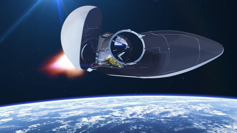
Named after the keeper of the winds in Greek mythology, the probe lifted off late Wednesday. The original plan to launch it on Tuesday had to be postponed, ironically because of adverse winds.
Ms Straume said that computer models for predicting future weather rely heavily on four pieces of information about the atmosphere: temperature, pressure, humidity and winds.
Data on air movements are currently collected from the ground or, indirectly, by observing waves and clouds from planes or space.
Aeolus is equipped with a so-called lidar — nicknamed Aladin — that fires powerful pulses of ultraviolet laser light into the atmosphere and then observes which way they are scattered when they bounce off tiny particles in the air, Ms Straume said. By comparing the wavelength of the light when it goes out to the wavelength when it returns, scientists can calculate which way the air is moving.
The process — known as the Doppler effect — is familiar to most people from the way the sound of an ambulance changes whether it’s moving toward or away from the listener.
Importantly, Aeolus will close a gap scientists have when it comes to measuring winds at altitudes between 10-30 kilometres. It will also be able to collect data from areas where ground-based weather stations don’t exist, such as in remote regions on land or at sea.
The satellite will orbit Earth every 90 minutes, beaming data to a ground station on Norway’s Arctic island of Svalbard from where they will be sent to the European Center for Medium-Range Weather Forecasts in Reading, England.
The European Space Agency said it hopes real-time wind measurements will also help predict extreme weather and climate change more accurately.