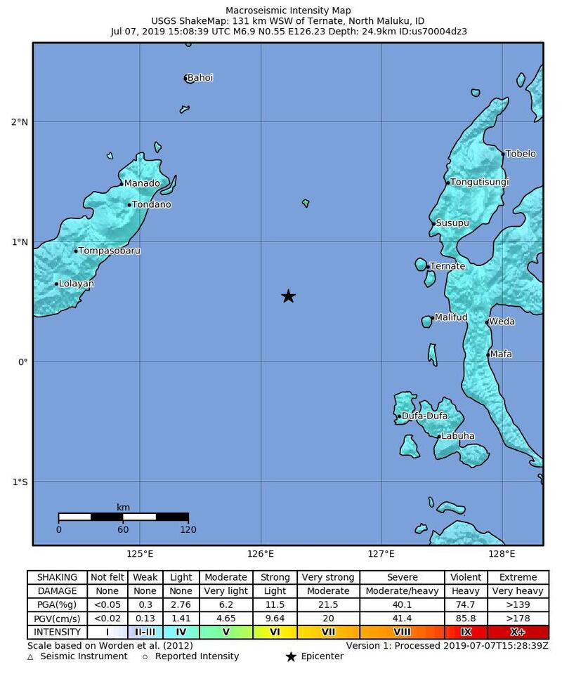
A 6.9-magnitude earthquake struck off the north-eastern coast of Indonesia’s Sulawesi island late on Sunday, prompting authorities to issue a tsunami warning for eight cities near the epicentre.
The quake was out at sea at a depth of 36 kilometres and several smaller aftershocks followed, the Indonesian geophysics agency BMKG said. There were no immediate reports of casualties.
An earthquake above the magnitude of 6.1 can cause significant damage in heavily populated areas.
The agency had not lifted the tsunami warning more than an hour after the quake, a spokesman told Reuters.
“We have not ended it because we are still monitoring the tide gauges for high waves, although none have been recorded yet,” Rahmat Triyono of BMKG told Kompas TV.

Residents in some cities panicked as tremors shook buildings and authorities urged people to seek higher ground.
Some hospitals in the city of Ternate, about 130km from the epicentre, sustained minor damage and had to move patients to safety, reports said.
Residents in the seaside resort city of Manado, 185km from the epicentre, said the quake was felt strongly for several seconds but no damage was reported.