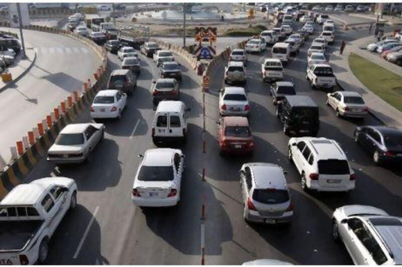
ABU DHABI // A management system is planned for the capital's traffic that includes road signs and multimedia broadcasts with constantly updated information to alert drivers to traffic jams, accidents and the best alternative routes to their destinations.
The Department of Transport (DoT) says the integrated Intelligent Transportation System (ITS) involves a five-year project plan to provide an advanced network of communication and information technology to drivers.
The net result of this information flow to motorists will be smoother and safer roads with less congestion, while the problems of insufficient transport infrastructure, increasing emissions and more cars on the road should be minimised.
A detailed design for the project should be presented in the first quarter of next year, officials said.
The ITS will initially focus on managing traffic and incidents along limited-access highways in the metropolitan area.
Congestion and incident information will be relayed via bilingual, automated voice broadcasts on a highway advisory radio station.
Dynamic messaging signs will also be installed before en-route decision points - particularly at bridges and freeway interchanges - to give drivers the latest information on the best routes to take, and ones to avoid.
Web and mobile phone information services will also allow drivers easy access to information.
Khalid Mohammed Hashim, the executive director of land transport at the DoT, explained that the goal was to create a world-class transportation system in the emirate.
"Traditionally, this has typically meant building new highways and infrastructure," he said.
"However, it has become clear that the future of transportation is increasingly dependent on ITS."
Officials said the new network technology would help reduce travel time - real-time information where travellers can plan their trip accordingly will mean less traffic bottlenecks and less waiting.
"For example, a person will receive the approximate travel time from point A to point B via various modes, like buses or personal vehicles," said Bader al Qamzi, the director of integrated planning at the DoT.
"Multiple travel times, using different routes for the same destinations, will also be posted on the dynamic message signs. Then, drivers will choose the best [route] to take."
Mr al Qamzi said that by being prepared for heavy congestion, and aware of accidents, motorists could use caution and reduce their speed accordingly, resulting in less primary and secondary accidents.
Through the quicker detection, verification and clearing of incidents, Mr al Qamzi said, travel time would be reduced, which would also ultimately help reduce greenhouse emissions.
However, the ITS projects would take time to implement, Mr Hashim said, and therefore a number of quick-deployment solutions were in progress.
These "quick-win" projects, which will be completed before the third quarter of next year, include portable variable message signs - which alert drivers to real-time congestion - incident detection stations, non-citation traffic cameras and a Web-based traffic congestion platform.
The ITS network would be monitored and operated from the Abu Dhabi Transportation Management Centre, which would work around the clock, and provide consolidated and integrated operations facilities, officials said.
The centre will be responsible for the integration of regional and urban traffic management, public transport management and operations, and co-ordinated incident and emergency management.
Future ITS strategy plans for the emirate including providing weather and speed advisory information on rural routes, parking information for central business districts and information systems for future public transport projects.
What to expect...
In the long term:
• A Highway Advisory Radio system will broadcast voice messages through an AM or FM frequency to alert motorists of road conditions. This will work in conjunction with static signs placed on the road with flashing beacon lights, and will mainly be used during poor weather when signs are not visible.
• En-route car navigation system feeds newer car models with road information either by displaying incident information on their built-in navigation systems or by overriding their stereo system to alert them of any accidents or adverse weather conditions ahead.
In the short term:
• Incident detection stations consisting of devices placed on roadsides to detect any disturbances to traffic flow.
• Non-citation traffic cameras will monitor traffic flow and help verify traffic incidents.
• The Geographic Information System is a Web-based map showing the road network of a certain area. The system will indicate the level of traffic flow using red for heavy traffic, yellow for moderate and green for free-flowing.
Source: Bader al Qamzi, the director of integrated planning at the Department of Transport