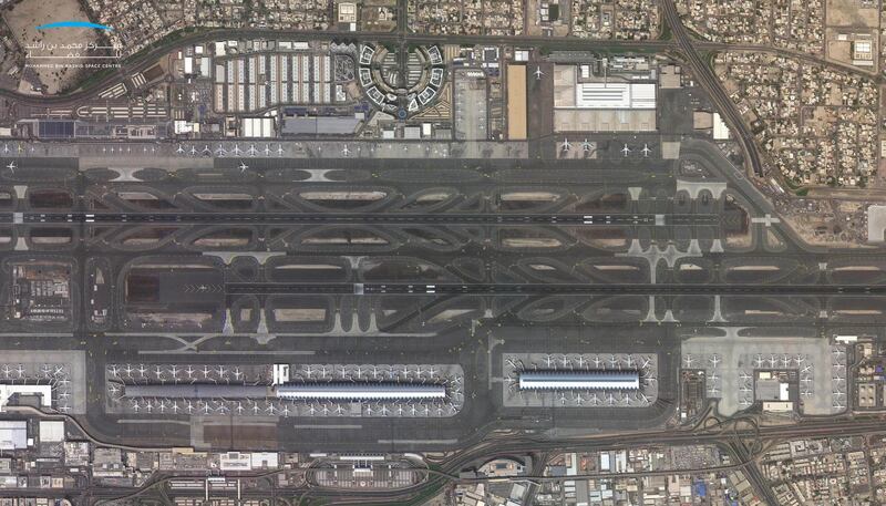
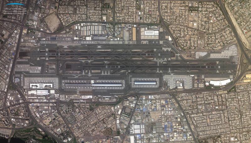
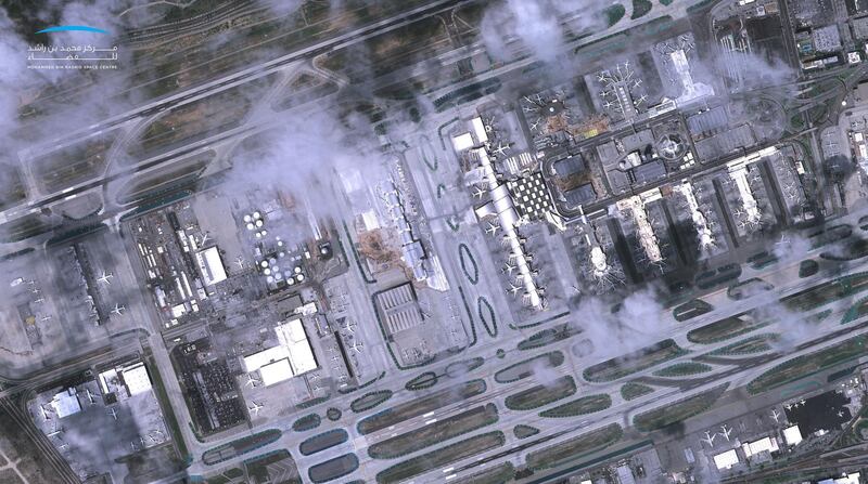
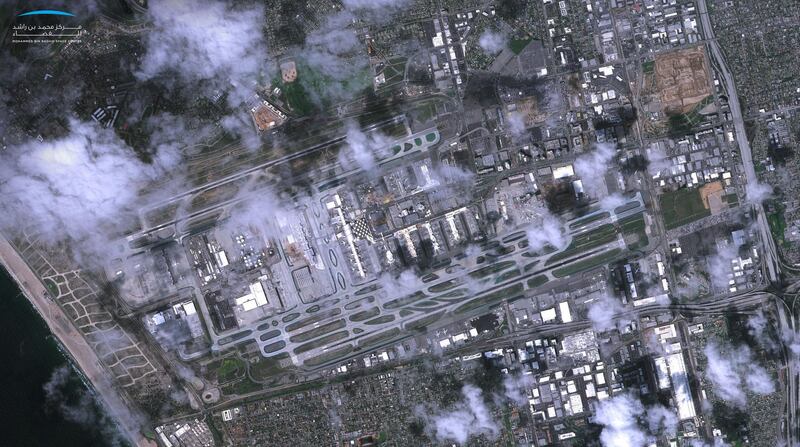
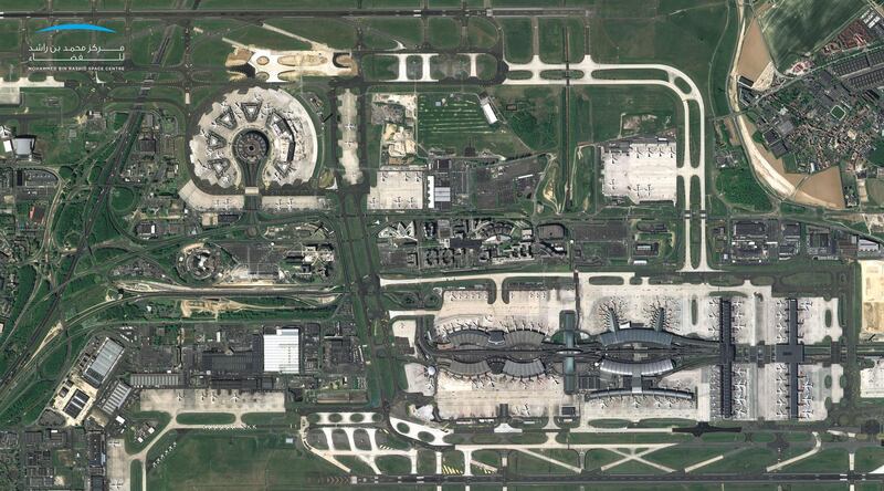
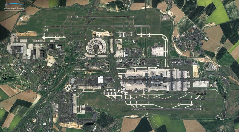
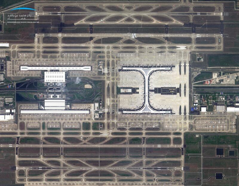
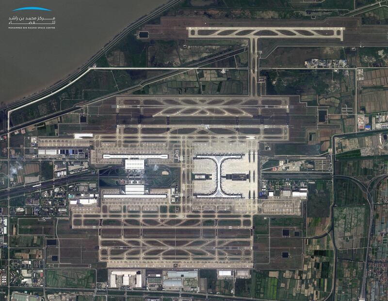
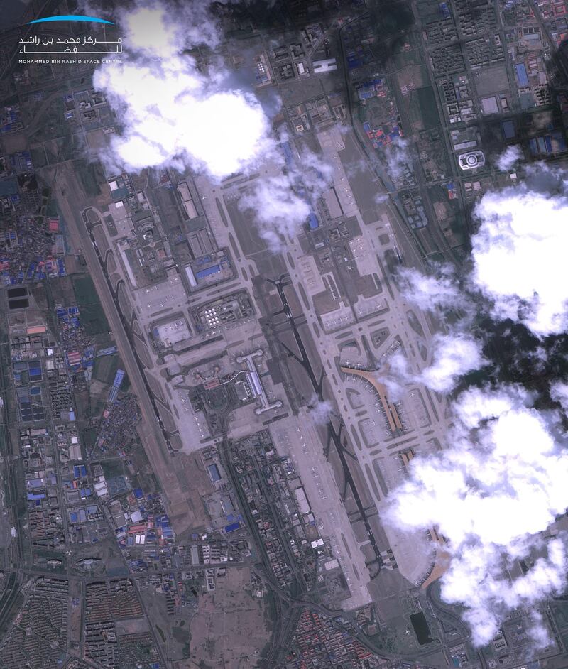
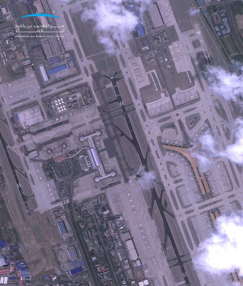

The first entirely Emirati-made satellite has captured incredible images of some of the world's biggest and busiest airports almost deserted during the coronavirus pandemic.
Images released by the Mohammed bin Rashid Space Centre (MBRSC) show scenes from Dubai International, Shanghai, Paris's Charles de Gaulle and more taken by KhalifaSat between March and April, during the height of the lockdown period.
“We understand that we are passing through an unprecedented period due to the current pandemic, which has had an impact on climate emissions and pollution," said Ammar Al Muhairi, the manager of image processing at MBRSC.
"We believe that data procured from KhalifaSat can be further used to explore the effects of the Covid-19 pandemic on Earth."
KhalifaSat was fully developed at MBRSC facilities by Emirati engineers and was launched to space in October 2018.
Pictures from the satellite help governments and private companies across the globe tackle a range of challenges, from climate change and disaster relief to urban planning.
It captured 7,250 high-quality images and completed 5,431 low Earth orbits since its launch date.